Our US Road Trip – June 1997
Date
Activity
Miles
Sun June 15th
Pickup car, drive to Bakersfield area
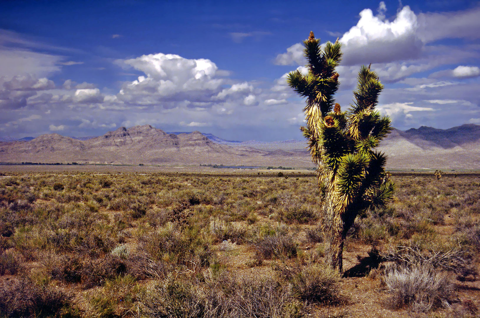
We were shortly leaving California to return to the UK, and even though I was just recovering from knee surgery, and still on crutches, we both wanted to do a short road trip while we had the opportunity. We still had our own car, but fancied doing the trip in style so we booked a Chrysler Sebring convertible for 7 days. We drove to Palo Alto to pick it up – quickly discovered that although it’s a good looking car and well suited for American roads, it’s no sports car! We drove down the I5 and came off at Bakersfield. Then took Highway 58 east going towards the Mojave Desert. Found a motel in Tehachapi for the night.
322
Mon June 16th
Drove from Tehachapi to Winslow
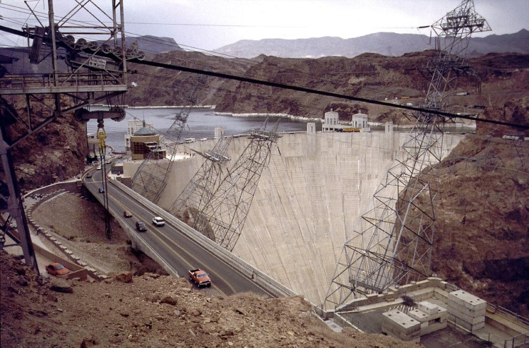
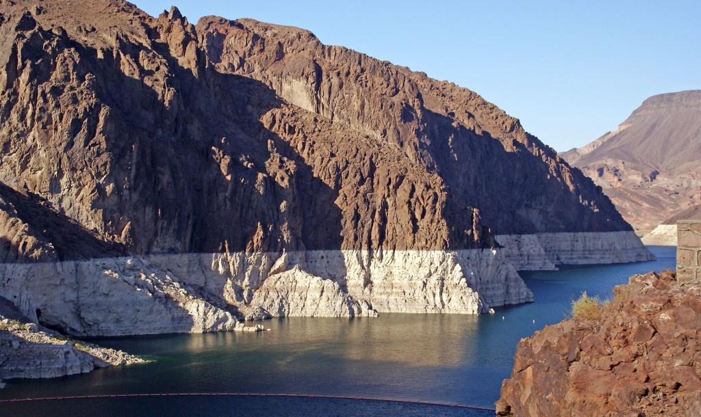
Resumed on Highway 58 eastwards. Got out to stretch our legs at Edwards Airbase. We hung around for a while, but there was no activity there, so we pushed on. At Barstow, we turned north-east towards Las Vegas, and it actually rained on us as we skirted the main town. We stopped at the Hoover Dam near Boulder for photos and lunch.
We eventually fetched up in Winslow.
511
Tue June 17th
Drove to Meteor Crater, Grand Canyon North Rim, then to Fredonia.
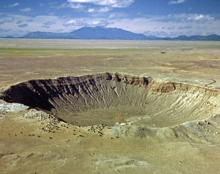
Drove to the Meteor Crater and spent some time there with me limping around on crutches, trying to see everything. We had coffees at the visitor centre, before heading west towards Sunset Crater, then north on Highway 89.
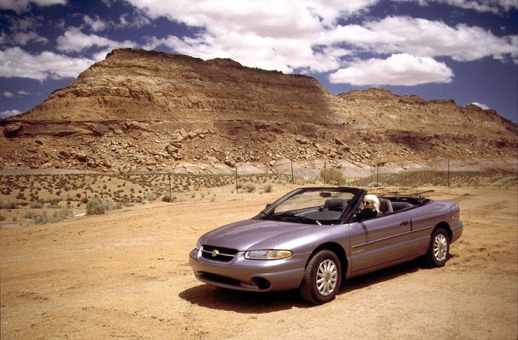
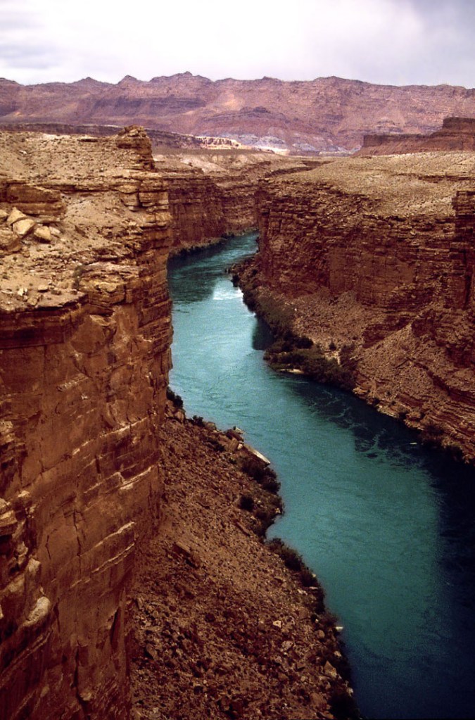
Stopped at Marble Canyon for photos. Carried on to the Grand Canyon North Rim, where we caught a rain shower. Then the sun came out and the views south across the Grand Canyon opened up – fantastic!
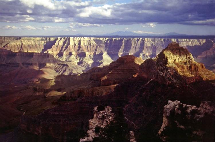
Drove to Fredonia and checked into a motel. Headed out looking for a diner, and we got to Kaneb before finding something that appealed. Torrential rain on the way back, and at the motel we were grateful for the overhanging roof for shelter.
328
Wed June 18th
Fredonia to Tonopah, via Zion NP.
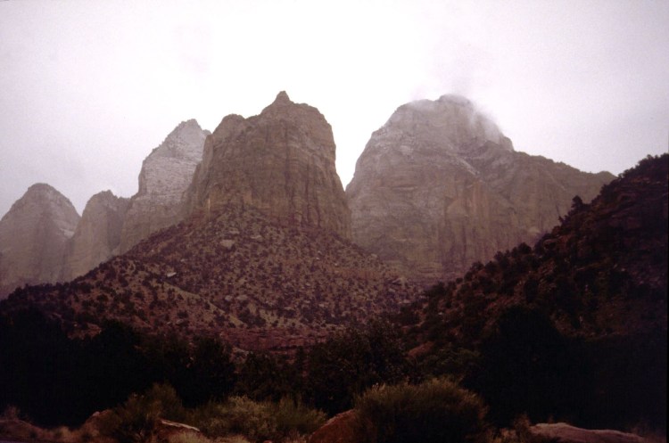
Had breakfast in Kaneb, then continued on Highway 89 north to Mt Carmel Junction where we turned west towards Zion National Park. In the rain with the roof up! Drove through Zion under leaden skies with stop-start rain. Got out of the car to take the odd photo, but it was disappointing (and atypical) weather for Utah!
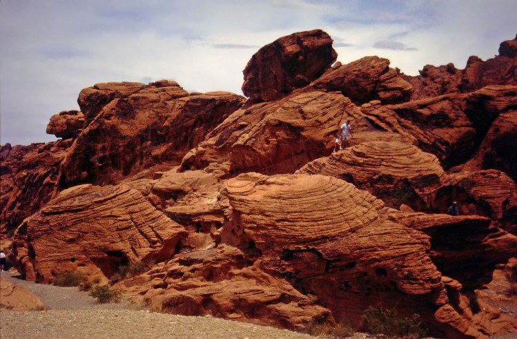
After Zion we picked-up the I15 towards Las Vegas, but turned off to do a circuit of Valley of Fire State Park. Except now it was too hot! Interesting rock formations; had lunch under a covered picnic area, watching the gophers running from one bit of shade to another, and then flattening themselves to the ground for maximum cooling.
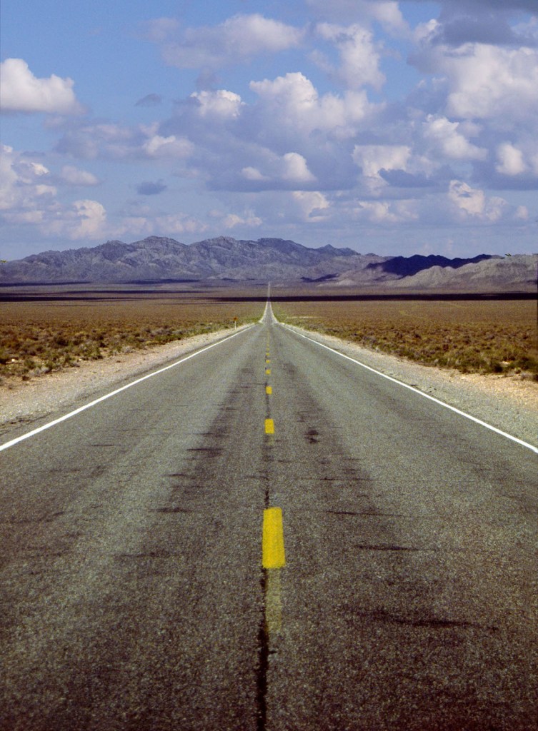
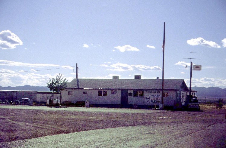
Continued on the I15 until we could turn north onto Highway 93, then turned west onto NV 375, or (ta-da)… Extraterrestrial Highway! We stopped the car, put Chris Rea’s ‘Road to Hell’ in the CD player, and continued westwards. This is a very lonely part of the world, not far from the Nevada Nuclear test site where they detonated possibly hundreds of nuclear bombs during the cold war. It’s also close to Area 51 or Groom Lake Air Base where (allegedly) they conduct tests on reverse engineered alien technology. The only habitation for miles is the tiny hamlet of Rachel – little more than a few trailers and a quirky diner called The Little A’Le’Inn.
Anyway, we set off down Extraterrestrial Highway with less fuel than I was comfortable with, but the map showed services at the far end of the highway at Warm Springs, so even if there was nothing at Rachel, we could fill up there.
We stopped for a beer at The Little A’Le’Inn and as our English accents gave us away, we were picked out by one of the UFO nuts attracted to Rachel. He asked what we thought of the UK’s crop circles. I told him I thought that they were great, but as long as they could be constructed in a couple of hours by someone with a tape measure and some planks, there’s no reason to suspect aliens. Apparently, this wasn’t what he wanted to hear, and walked off in a huff.
We finished our beers, and left, and of course there was no fuel at Rachel. So we continued on ET Highway with the gauge knocking on empty by the time we reached Warm Springs. But all we found there, was a long abandoned building that might once have been a filling station. Bugger!
The problem was what to do if we did run out of gas. As far as we knew, there was nothing for 51 miles until Tonopah; this was before the time when everyone had a mobile phone; I was on crutches, and it was already twilight, so I could hardly send Lin out hitch-hiking in the dark on a lonely highway. Neither of us fancied the idea of spending the night in the car… so we had no choice but to carry on. I drove gingerly, coasting whenever I could, but expecting the juddering stop at any moment. But it didn’t happen… we drove for the next hour living on our nerves but we made it to Tonopah; I’ve never been so grateful to see civilisation! We coasted into the garage with what must have been negative fuel – it probably took 3 gallons before the gauge was back to zero!
We found a nice diner near our hotel, and when we asked for a beer with our dinner, the waitress said “Oh, we don’t serve alcohol here, but I’ll pop next door and get you a couple of beers”. Wonderful hospitality!
393
Thu June 19th
Drive to Death valley, Lee Vining.
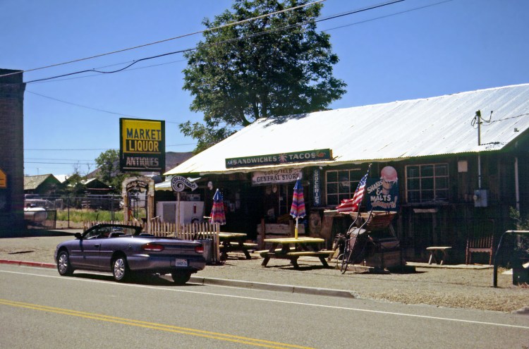
Took Highway 95 via the village of Goldfield, down to Beatty, and from there into Death Valley National Park. Just as we’d been driving with the roof up in Zion, we were forced to do the same in Death Valley. Except this time, it wasn’t the rain… it was 105 degrees, and we were cooking in the Sun! We checked-out Zabriskie Point before stopping at Furnace Creek for beers and a picnic lunch.
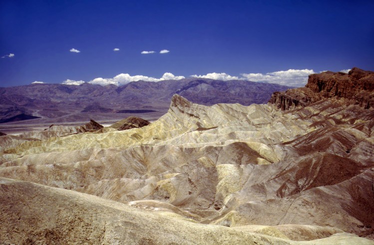
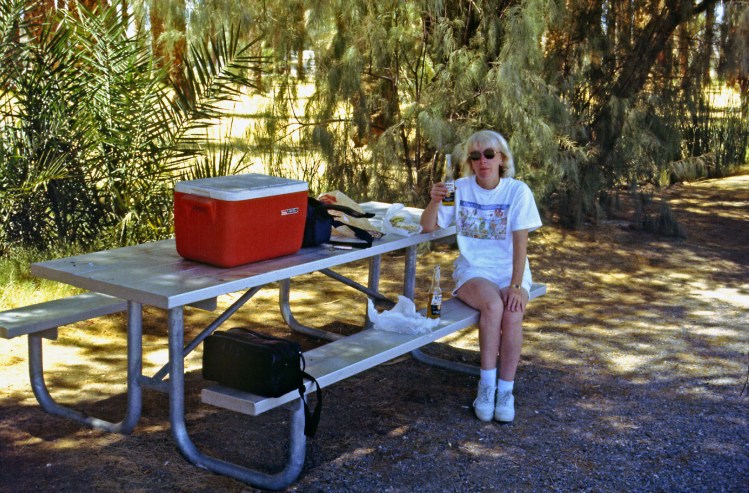
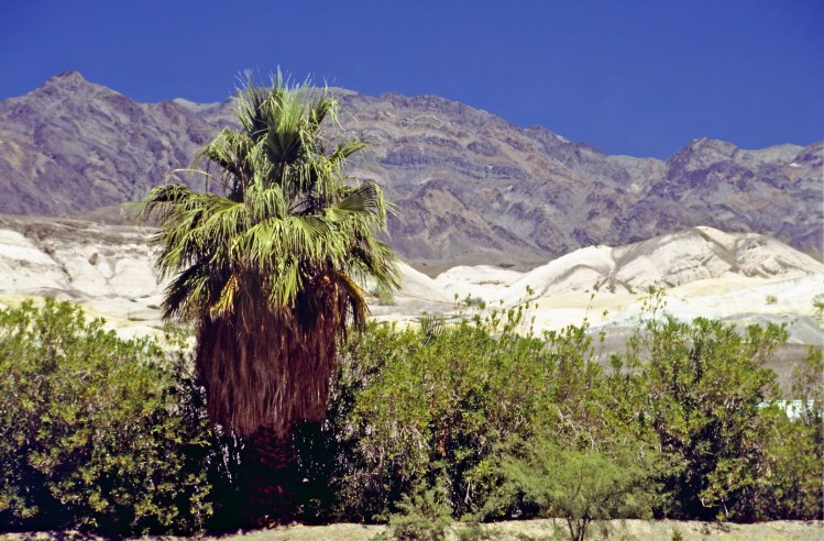
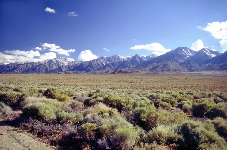
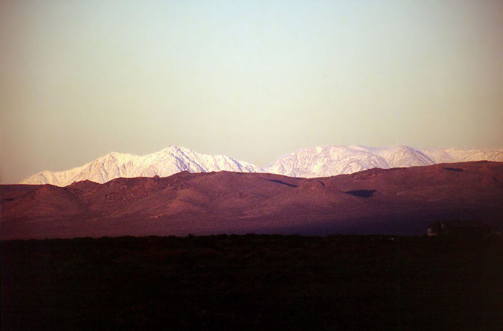
As we crossed Death Valley from east to west, we spotted many ‘dust devils’ in the heat. We drove out of the park to Lone Pine, and up Highway 395 to Lee Vining where we checked into the Yosemite Gateway Motel.
364
Fri June 20th
Lee Vining, Bodie, Sonora Pass, Home
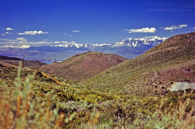
Drove east along the north side of Mono Lake, then took the Cottonwood Canyon road north to the old silver mining town, and now ghost town of Bodie.
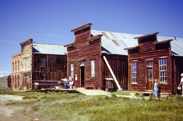
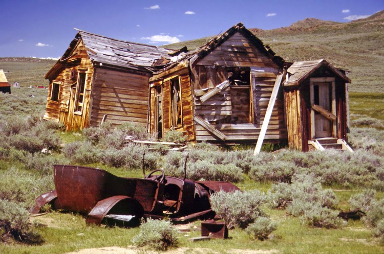
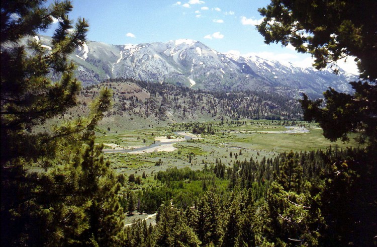
A fascinating place and unlike other ghost towns such as Calico, the buildings are allowed to crumble gracefully, and it doesn’t look artificial. We spent a good hour or two here, before setting off for home, via the Sonora Pass to the north of Yosemite. Stopped for lunch near Sonora.
324

