Our 2012 short break in the French Pyrenees
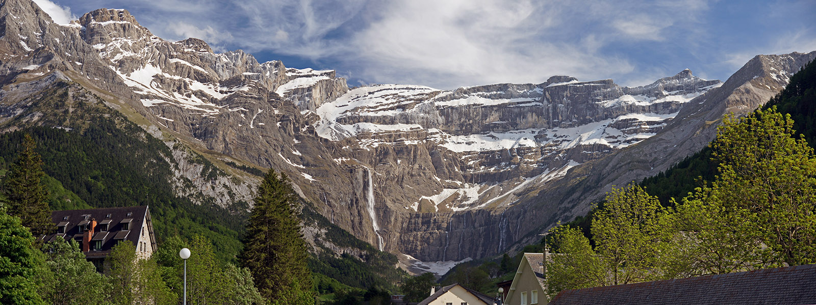
We’d visited the Cirque de Gavarnie in 1975 when we were holidaying in the Dordogne region. When we got there it was overcast and drizzly, but we’d seen enough that I resolved to revisit in better weather. So now retired, living in the Limousin region of France, and keeping an eye on the weather forecast, we decided to try again – this time in late spring, so the rivers and waterfalls would be at their best. It was to be a three day break with cloudy weather predicted for the first and third day, but the middle day was supposed to be warm and sunny.
Date
Activity
Km
Mon June 4th
Correze to Gavarnie
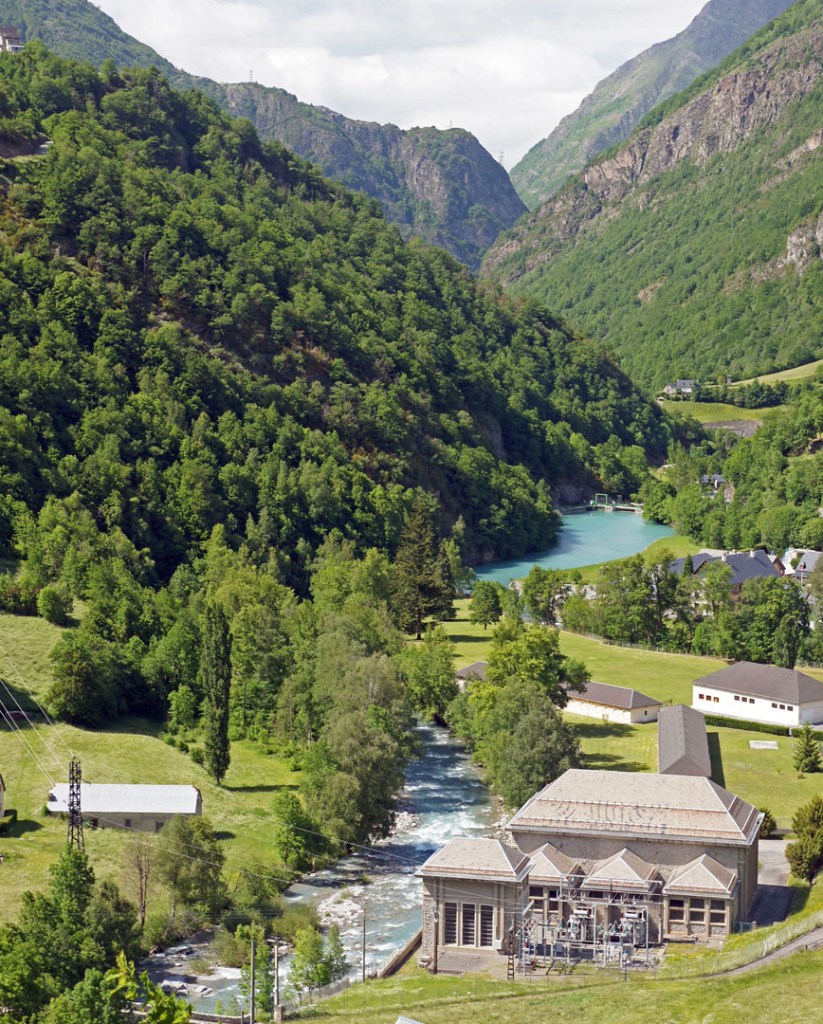
Accomodation in Gavarnie was limited as well as expensive, so we’d booked ourselves in at the Hôtel La Brèche De Roland, in the village of Gèdre for a couple of nights.
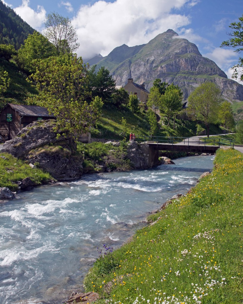
We checked-in and dumped our stuff at the hotel, and then drove the 8 km to Gavarnie for a look around. It was overcast, but a pleasant temperature, and the air was clear so we had good views of the Cirque de Gavarnie. We decided to walk along the Gave river south towards the Cirque.
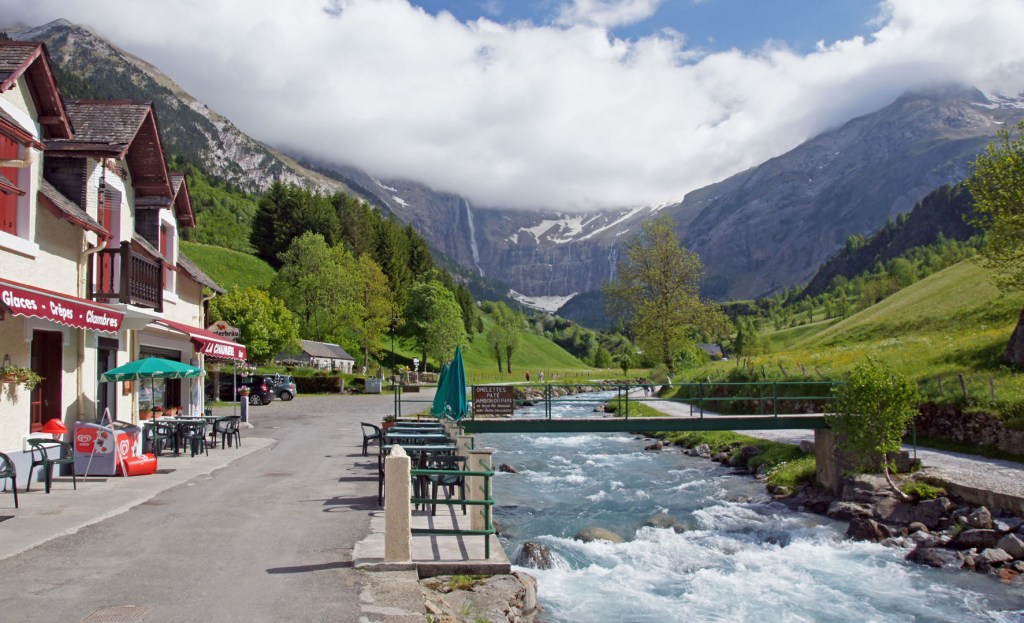
We walked for an hour or so (enough time for Lin to get a blister), before returning to Gavarnie for ‘second skin’ plasters, and of course a well-earned beer. Then back to the hotel for dinner.
472
Tue June 5th
Drove to Col des Tentes, then to Lac de Gaube
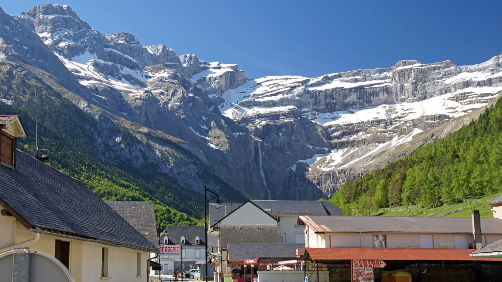
Woke up to blue skies and sunshine. Had breakfast at the hotel, then drove into Gavarnie for some photos of the Cirque de Gavarnie in the sunshine.
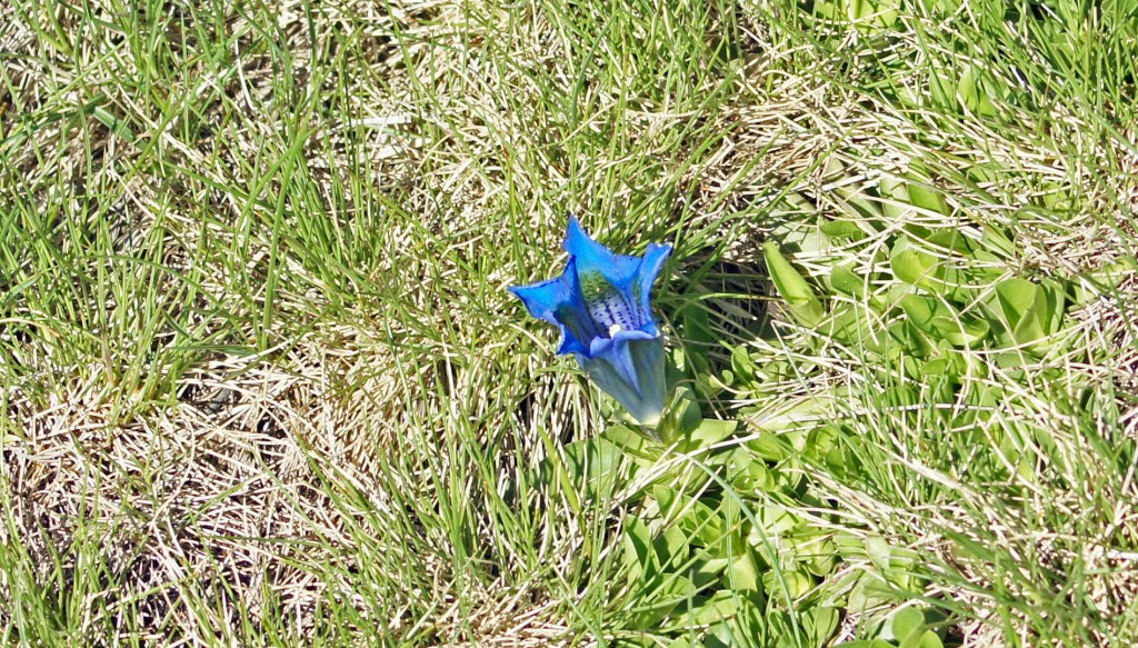
After enjoying the views from the village, we took the D923 mountain road up to the Col des Tentes… a height gain of nearly 900 meters. Spectacular views every direction when we got there, and plenty of snow still around.
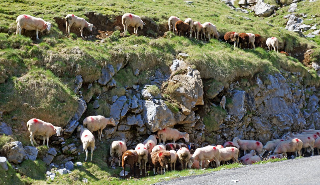
As well as seeing the occasional Marmot, we had to smile when we saw this collection of mountain sheep, apparently sheltering from the sun!
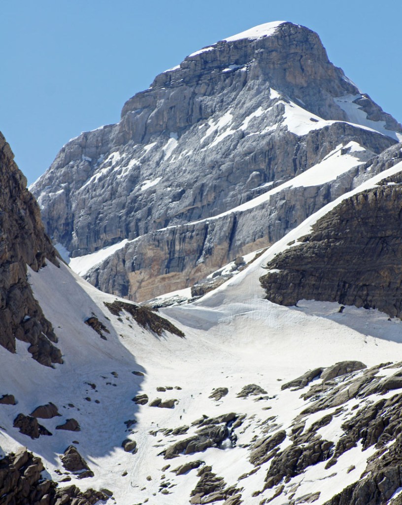
Still only mid-morning at this point, so we drove some 40-odd kilometers via the town of Cauterets, to Pont d’Espagne. Stopped several times to checkout roadside waterfalls.
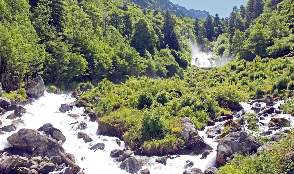
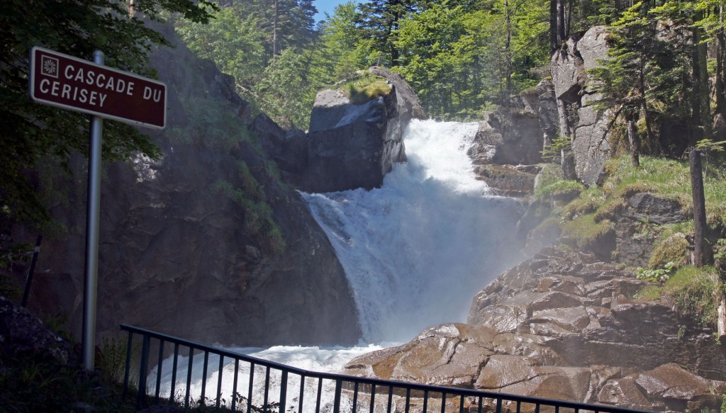
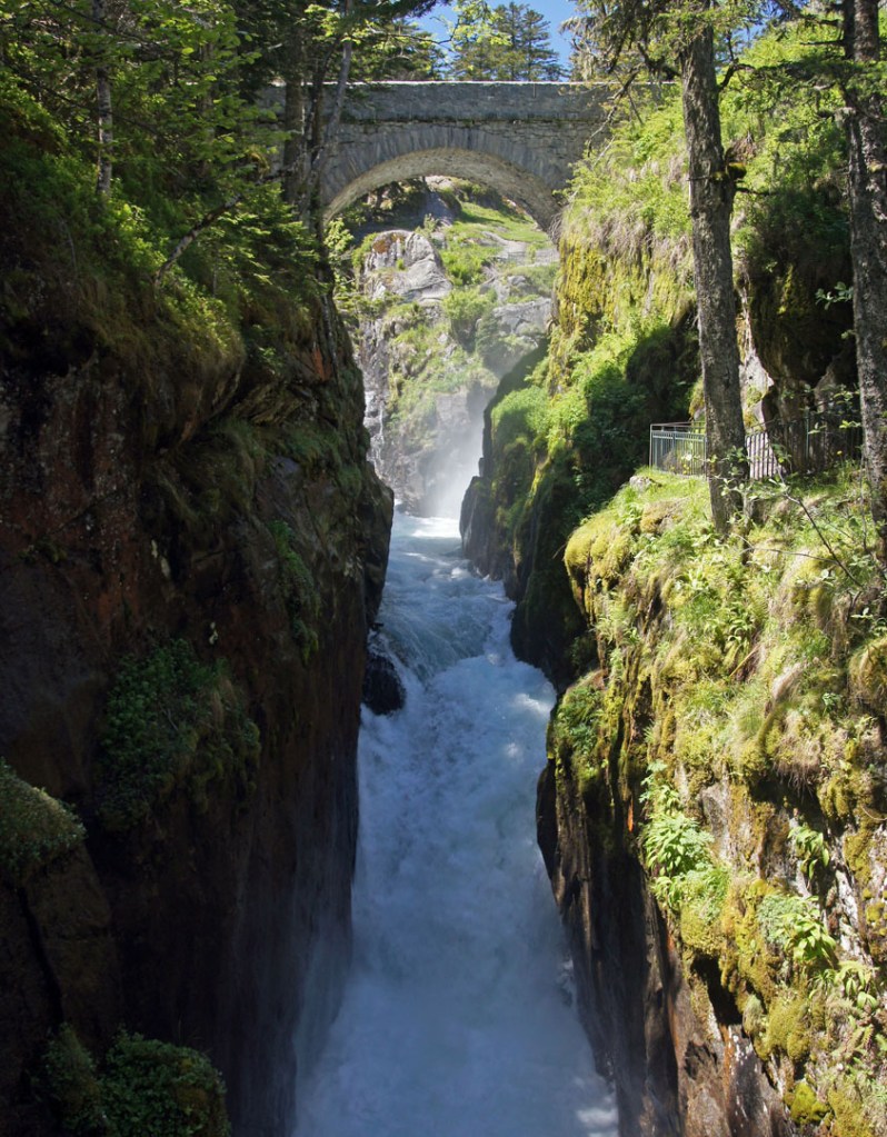
The Pont d’Espagne itself was quite spectacular, being a series of waterfalls, some of them were under the bridge itself.
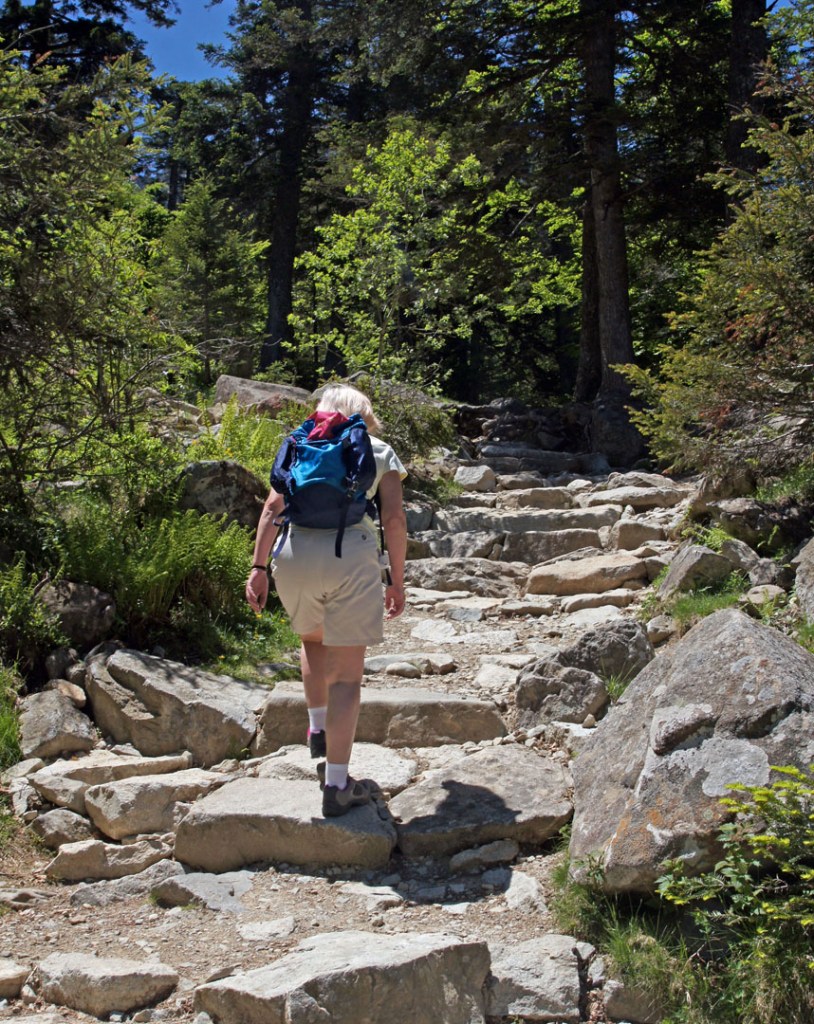
Then we found the path (part of the GR10) to the Lac de Gaube. The walk took 90 minutes… even though it was only 3 km, there was a 250 meter height gain. A good workout, but rewarded with great views of the Gave de Gaube valley once we’d left the forest behind.
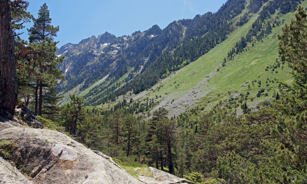
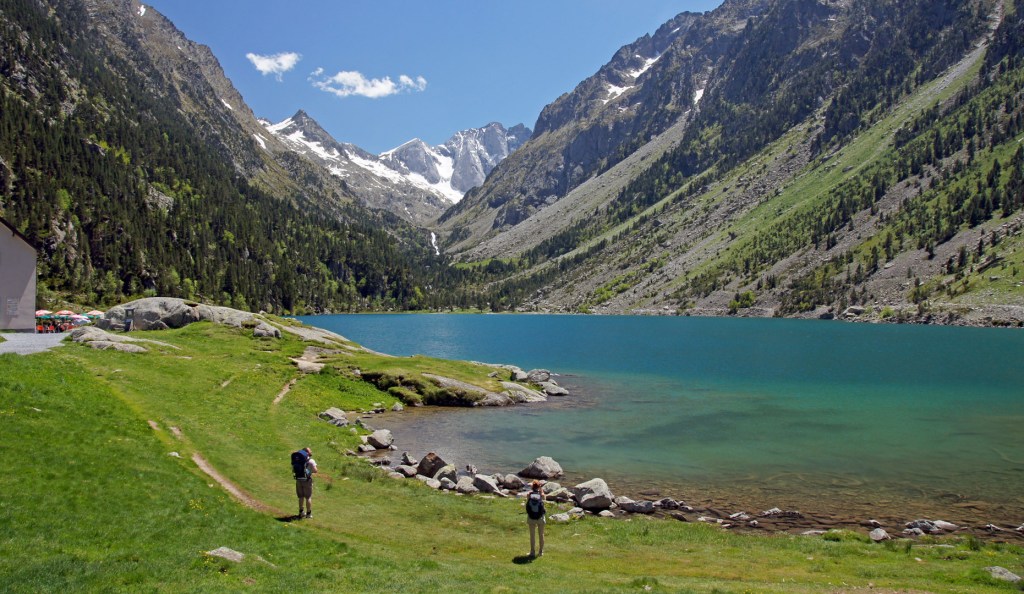
As the lake itself was higher than the approach, you don’t see it until you crest the last ridge… but it was quite a sight. As was the bar/restaurant next to it!
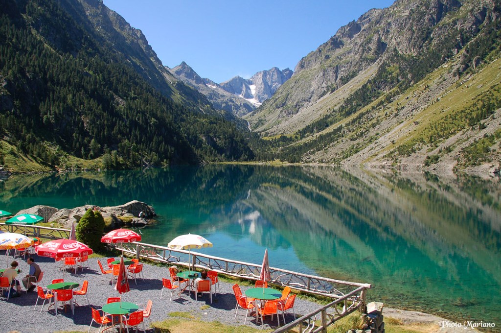
We had beers and lunch with the lake as a stunning backdrop.
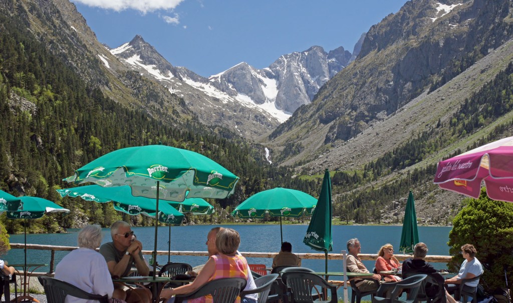
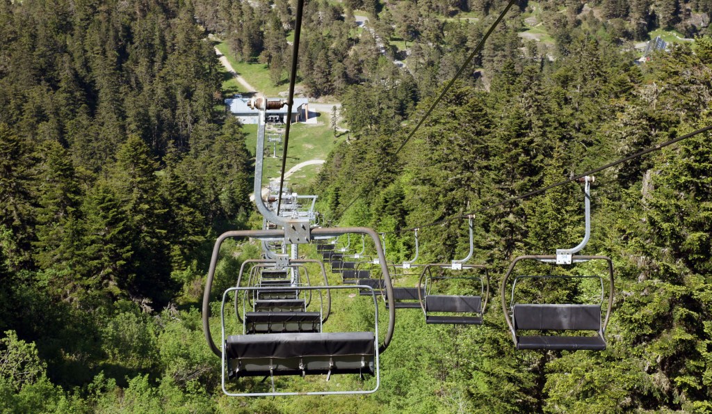
We were a little puzzled that we’d seen almost no-one on the path, and yet here was a busy restaurant with people wearing city shoes and clothing. Then I looked at the little map we’d picked up, and realised that there was a chair lift that brought people most of the way. We chose that to return us to the car park at Pont d’Espagne, but didn’t regret doing the earlier walk.
122
Wed June 6th
Gavarnie to Correze
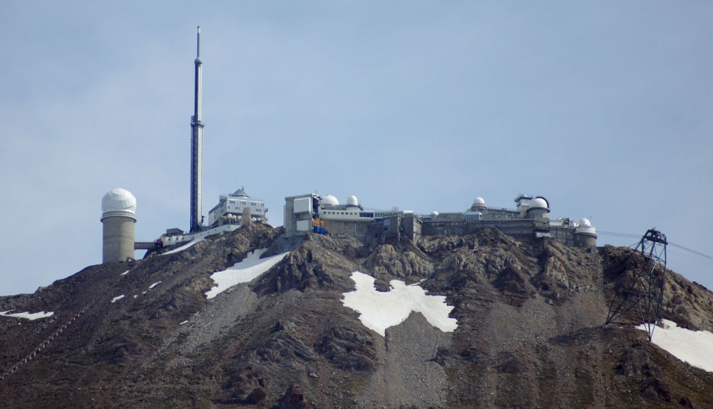
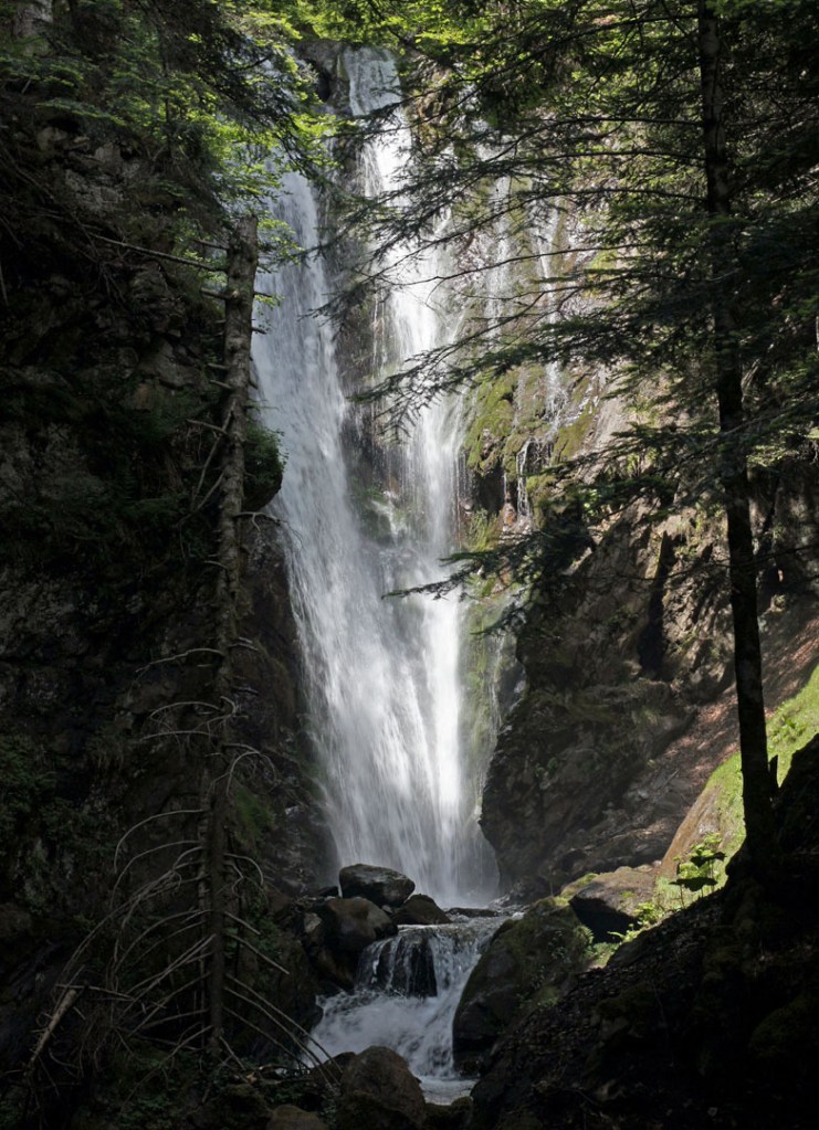
Still nice weather, so we decided to return via the D918 (popular with cyclists as it’s a regular part of the Tour de France). Stopped on the road to take photos of the spectacular Pic du Midi de Bigorre, as well as several (mostly anonymous) roadside waterfalls.
517

