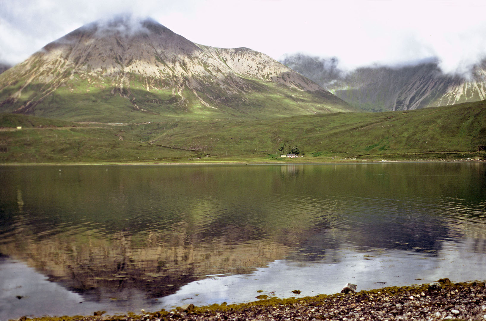
Rob and I: our road trip to Skye 1982
Date
Activity
Miles
Day 1
Derby to Loch Ness
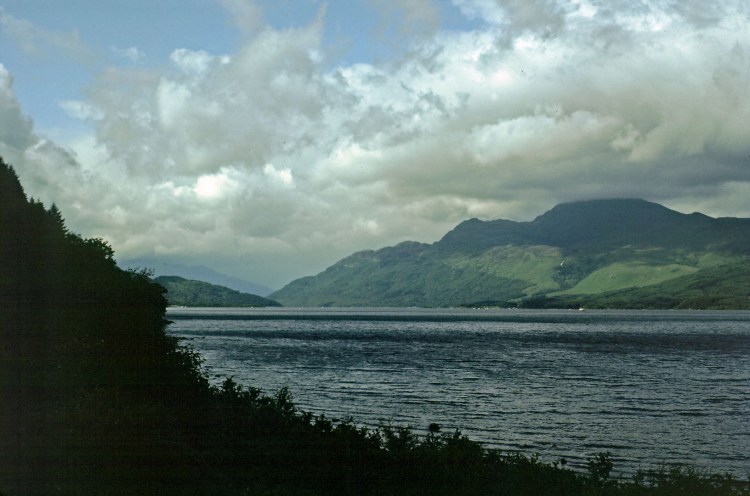
A38, M6, past Glasgow. We picked up two American hitch-hikers at Loch Lomond, dropped them off at the Youth Hostel near Glencoe. Rob and I continued and fetched up on the south side of Loch Ness.
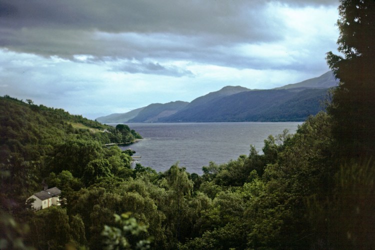
We found a nice spot for overnight parking, and then found a pub. Slept in the car.
453
Day 2
Loch Ness to the Isle of Skye.
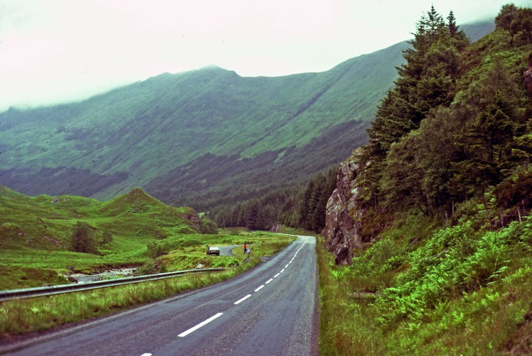
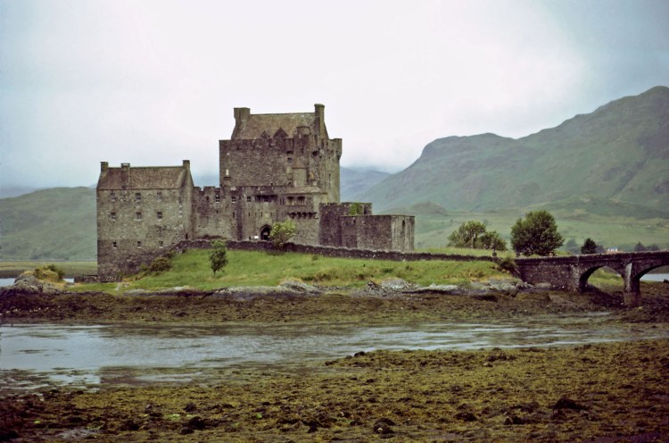
Drove round the top of Lock Ness, and followed the north shore, continuing past Loch Garry and Glen Shiel to Eilean Donan Castle on Loch Duich, and eventually to the Kyle of Lochalsh where we caught the ferry to Kyleakin on Skye.
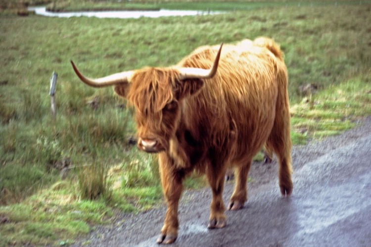
Gloomy weather on Skye, with low cloud, but not actually raining. Saw our first highland bull walking along the unfenced road. Drove up the east coast through Portree to Storr, and the Old Man of Storr, and then up to Lealt for the stunning coastline and views east towards the isle of Rona.
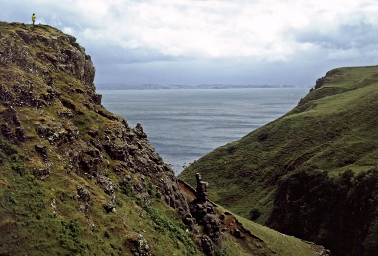
Found a track to park overnight. Pitched the tent and had a chilly night.
111
Day 3
Storr, and around the north of Skye.
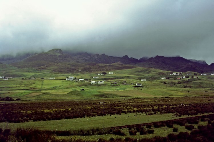
Another gloomy day with occasional bright periods. The roads around Storr were single track, so decided to go back down to Portree so we could do the north of Skye on better roads.
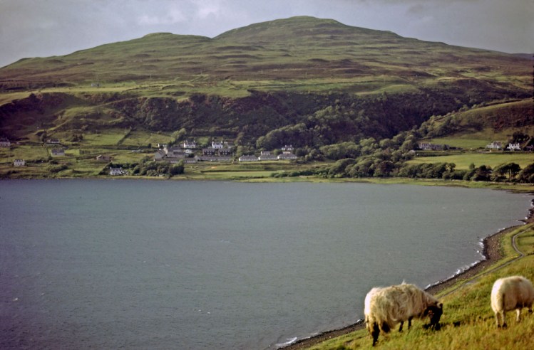
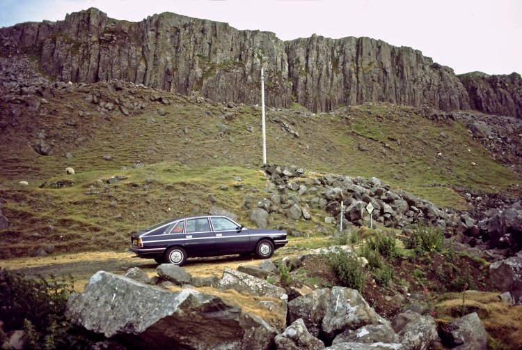
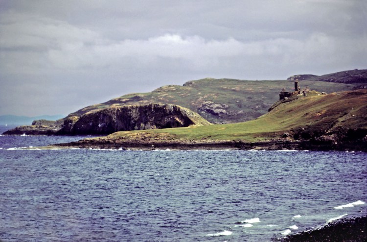
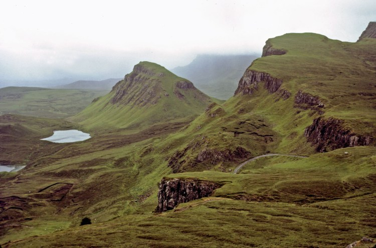
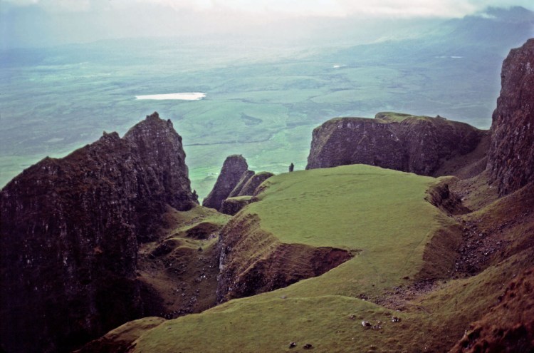
Stopped for pics of Uig, then to Duntulm with it’s ruined castle. We continued north round the top of Skye to the Quiraing, a strange rocky escarpment where the high plateau was collapsing.
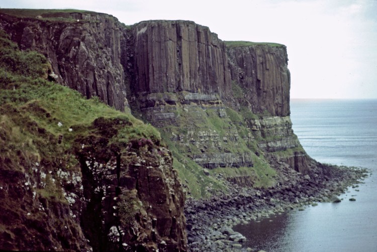
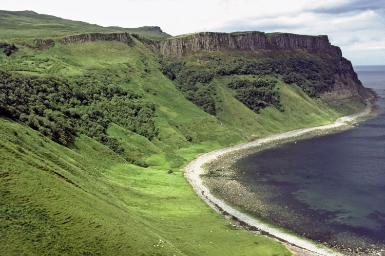
More pics at Kilt Rock, then Baerreraig Bay with it’s hydro-electric power station.
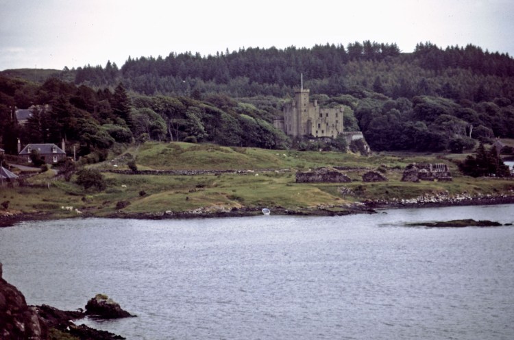
We ended up near Dunvegan Castle and parked the car near a shingle beach, where there was the wooden remains of an old sailing ship. Overnight in car.
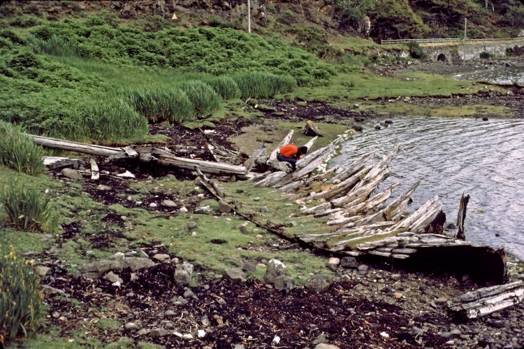
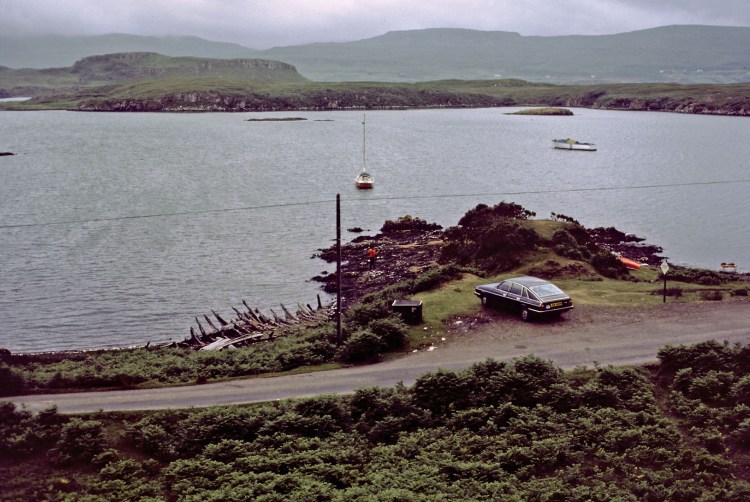
97
Day 4
Denvegan to the Cuillins
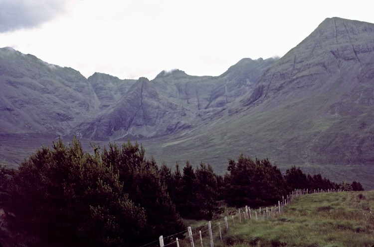
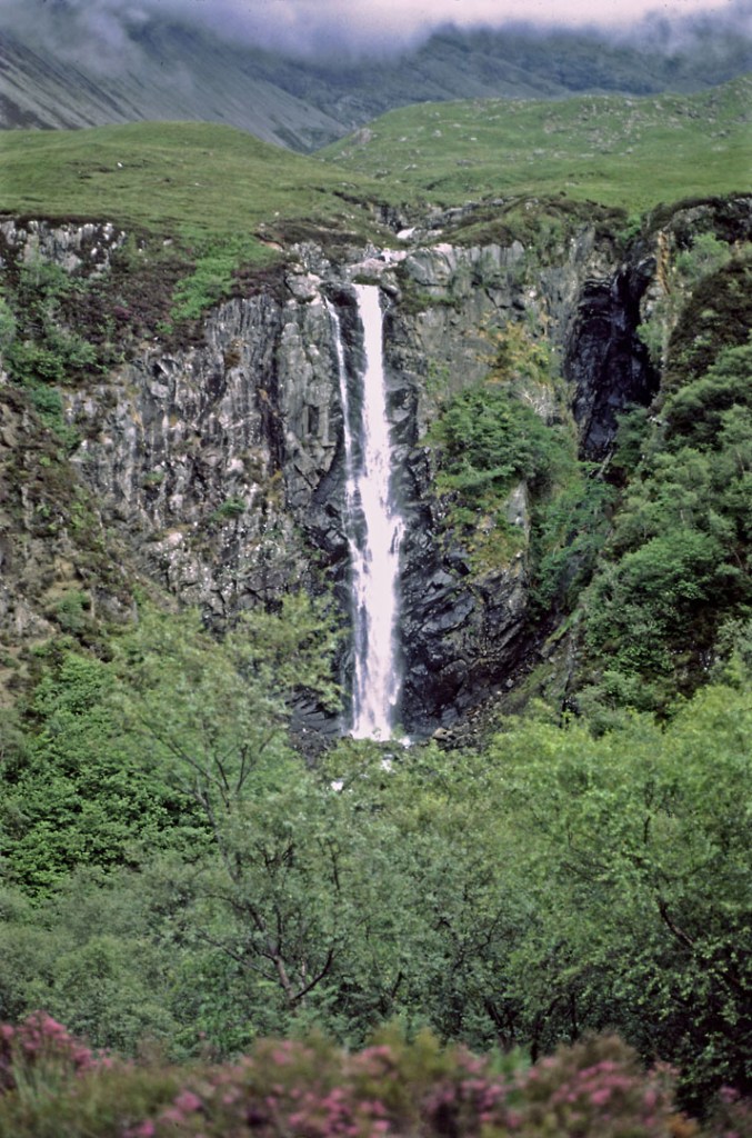
Still overcast. Headed south towards distant Cuillins and Glenbrittle. We stopped at the Fairy Pools,and then walked to the waterfall Eas Mòr.
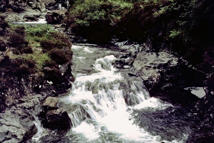
We continued to the car park at Loch Brittle, and set about our serious walk up into the Cuillins. As we were going up what was essentially a water course, the going was sqlelchy, but it was a nice walk with increasing views across Loch Brittle.
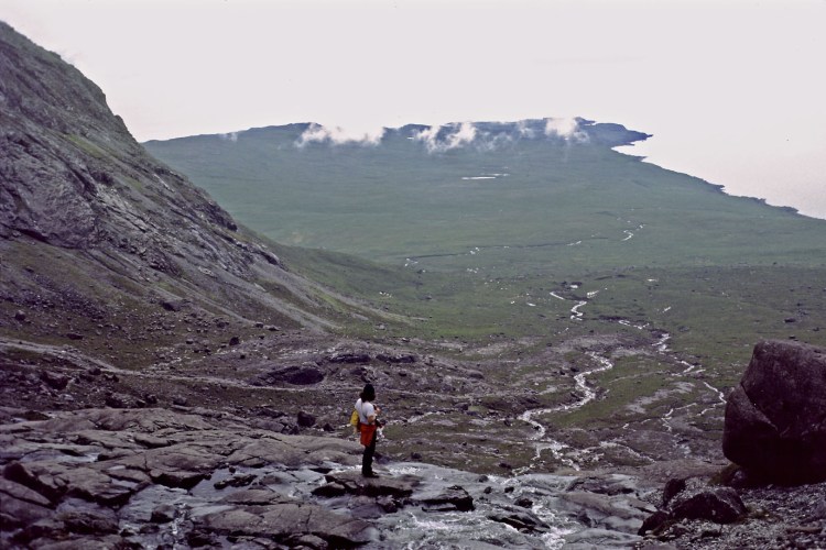
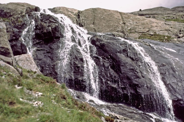
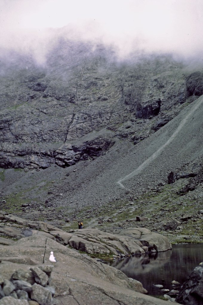
Our destination was the small loch, Coire Lagan, a climb from the sea level car park of nearly 2,000 feet. When we arrived, we found we’d walked almost into the clouds.
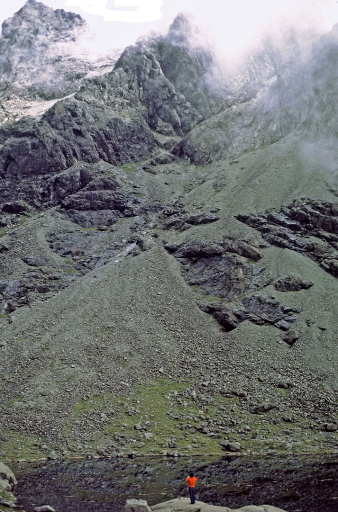
Around us were the serious peaks of Sgùrr Dearg, Sgùrr MhicChoinnich, and Sgùrr Alisdair… all the preserve of the serious rock limbers. In front of us, across the lochan was the Great Stone Shoot, which was the quickest way down Sgùrr Alisdair.
Back down at sea level again, it was heading towards evening, so we stopped the car on Glenbrittle, and fired up our two Gaz stoves for a gourmet meal of bread, sausages and beans; unfortunately, the midges decided to make a gourmet meal out of us.
I first became aware of the midge problem in Scotland, reading something by John Ridgeway or Chay Blythe… one of the people running outward bound type survival courses in remote Scottish glens, and I remember thinking… these guys are the hairy macho men who rowed across the Atlantic; why would they be affected by a few bugs? Well Rob and I discovered the reason… they arrive in ones or twos, then a few more until there are hundreds around each one of us. It’s not so much that they bite as that they get in your hair, in your eyes, in your ears, up your nose, and there were more arriving every second. They’re impossible to ignore, and eventually, they’d drive you round the bend.
Needless to say, there came a point where we just had enough presence of mind to take the pans off the heat, and then jumped in the car and roared off with the windows open to dispel the ones on us. After about 10 minutes of driving, and rubbing ourselves down, we returned to the scene, tossed all the cooking stuff in the boot and retired to the nearest pub, in the village of Carbost.
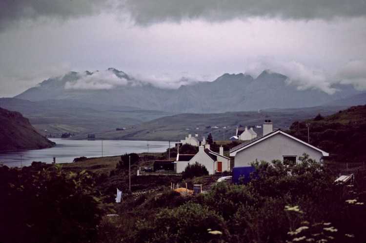
Overnight in car in the car park on Loch Brittle.
37
Day 5
Loch Brittle to Elgol
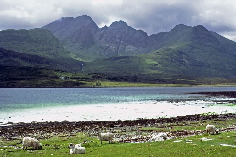
Drove out of the Cuillins, via Loch Slapin to the hamlet of Elgol.
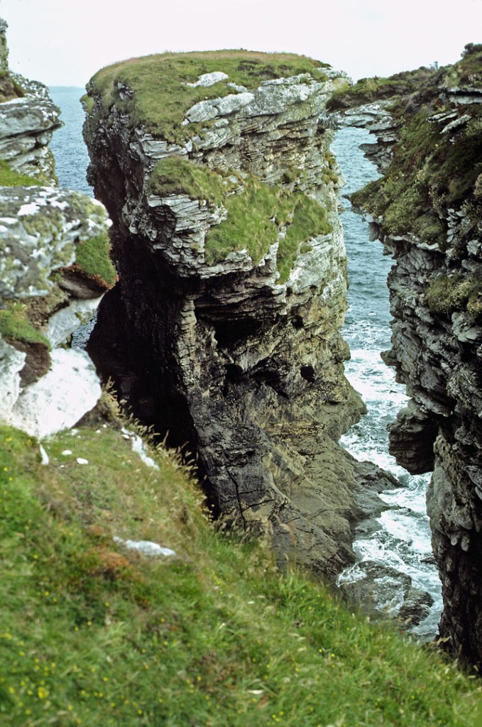
We did the rough walk south of Elgol to Prince Charlie Cave, and checked out some of the nearby cliffs and sea stacks.
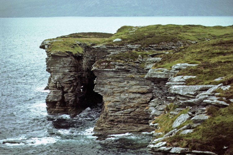
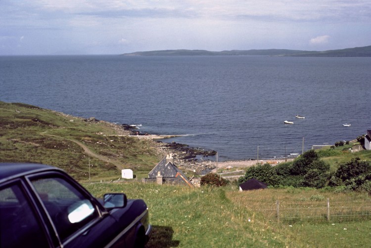
After dark, we went down to the stony beach, and started a bonfire, while we sat and drank beers and contemplated the nature of the ghost that was supposed to haunt this beach. And then our bonfire exploded. We’d created a ring of rocks to contain the bonfire, and some rocks object to being heated! You can see the rock in question in this pic…
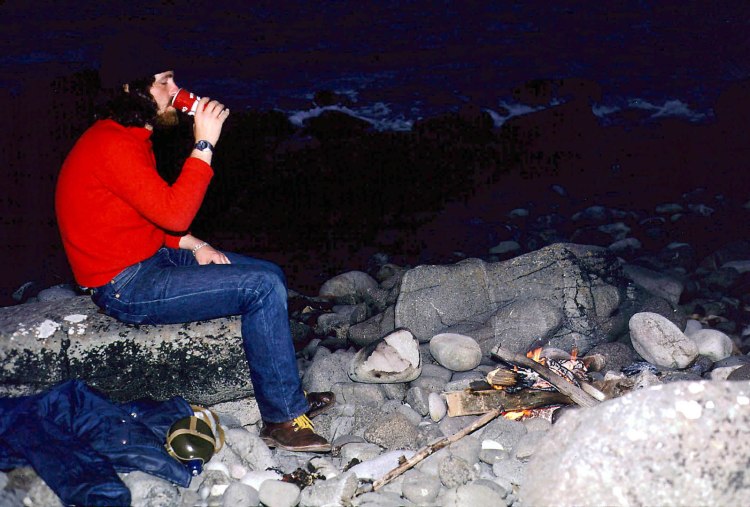
Overnight in car on the clifftops.
73
Day 6
Glen Sligachan and Sgùrr na Stri
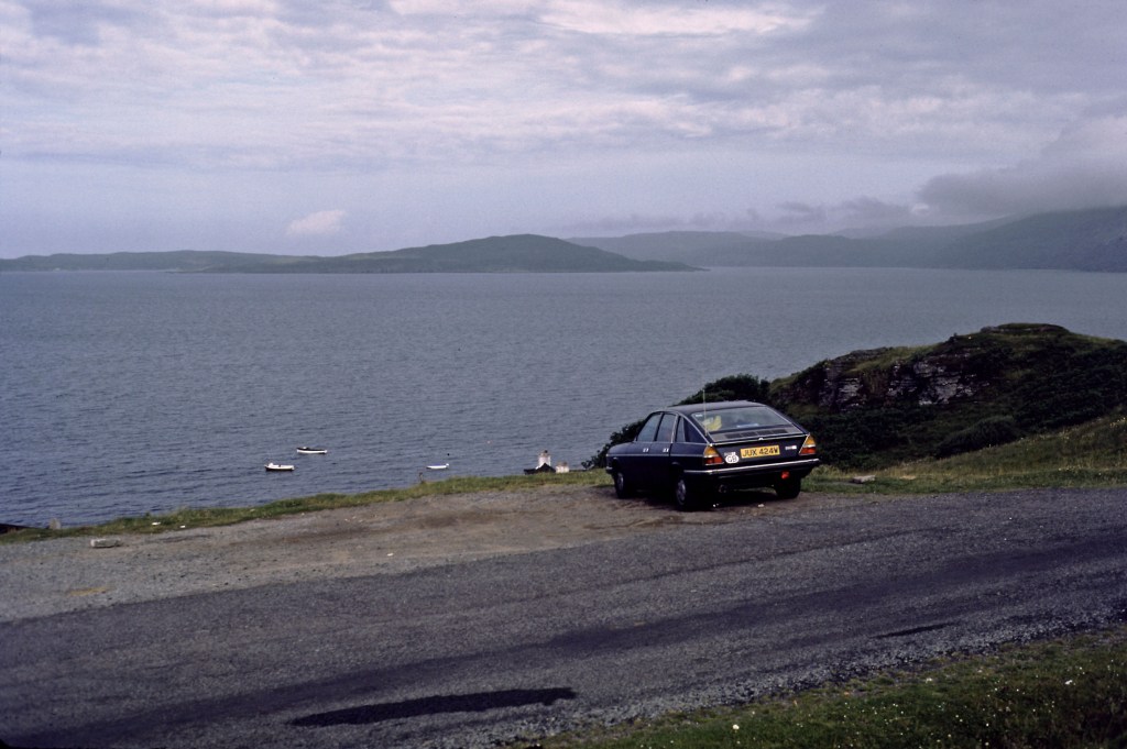
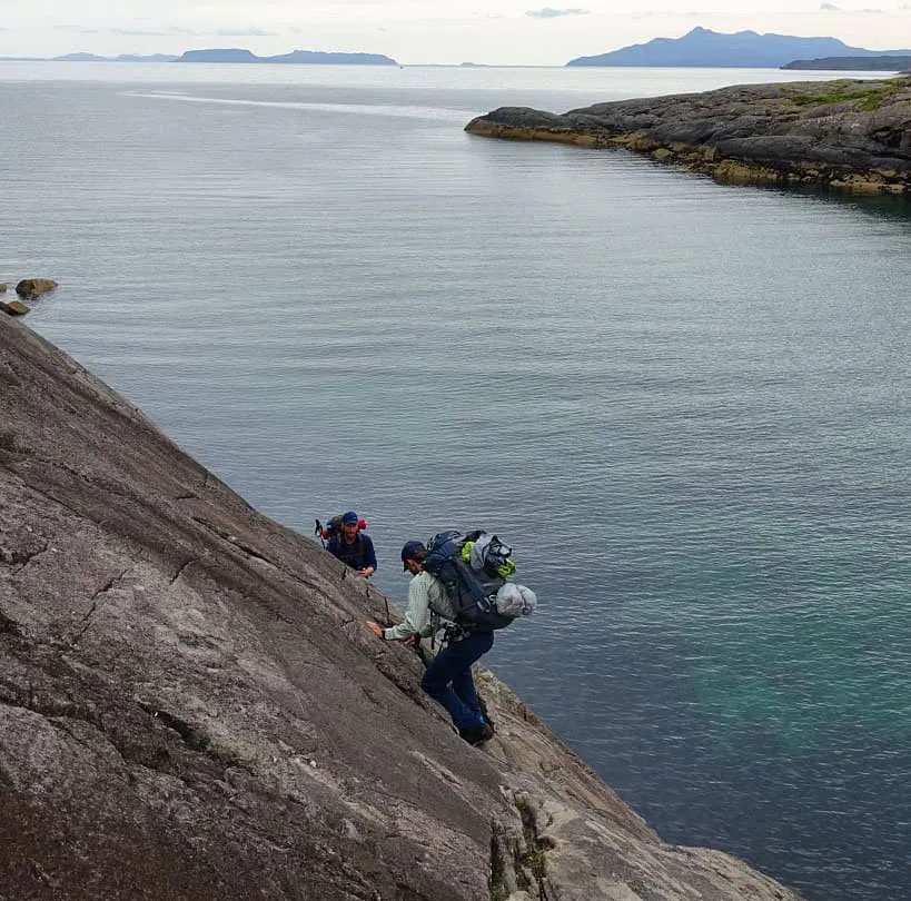
We originally wanted to walk from Elgol to Sgùrr na Stri, but it involved a coastal walk including something called The Bad Step which sounded like a bit of a scramble. As we were to be camping and therefore carrying a load of gear, we decided to give the Bad Step a miss, and approach from Glen Sligachan instead. BTW, here’s a library pic of The Bad Step and I think we made the right choice…
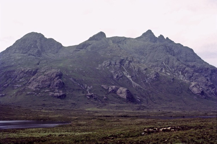
We started walking under gloomy skies, loaded with the makings of lunch, dinner and breakfast, together with camping gear for two. We started at the Sligachan Hotel at the north end of the glen, and we intended to walk the length of the glen, eventually climbing to the top of Sgùrr na Stri at the south end. We walked past the rounded shape of Marscoe, and past many small lochans, and streams. It was a 12 mile walk.
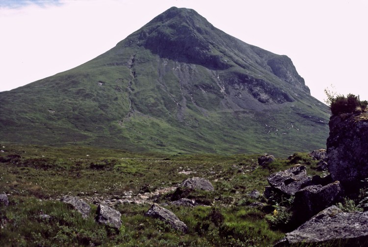
Eventually, we started up Sgùrr na Stri itself, which was around 1500 feet high. I remember it being a little frustrating, because after walking all day, and then all the climbing, there were several false peaks, where you thought you’d arrived, only to find you now had to descend before climbing the next one. It was very gloomy by the time we arrived at the top, and a wind had blown up.
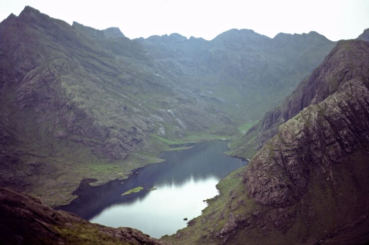
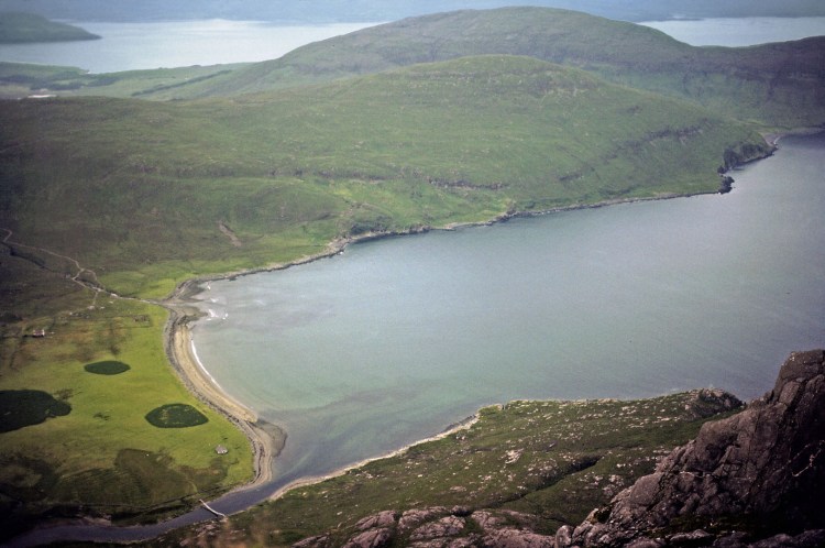
We pitched the tent on squidgy, marshy soil in a cleft near the top, so as to give some shelter from the wind. We also made sure the tent opening was away from the wind in case it rained. We spent half an hour or so enjoying the views, which given half decent weather, would have been stupendous.
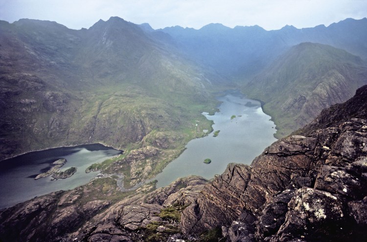
One web site says “Widely regarded as the home of Britain’s best view, the little peak of Sgurr Na Stri delivers a mind-blowing panorama of Skye’s mighty Cuillin Ridge.”
Then we had our dinner, chatted for a while and then went to bed.
31
Day 7
Glen Sligachan
In the middle of the night, the wind shifted through 180 degrees, and it started raining. It was the campers worst case scenario, despite our preparations. Inevitably the rain found it’s way into the tent, and lay in puddles around the edges. I remember trying to sleep, lying in a cold and soggy sleeping bag. Rob was no better off, so first light, we struck camp and trudged back to the car.
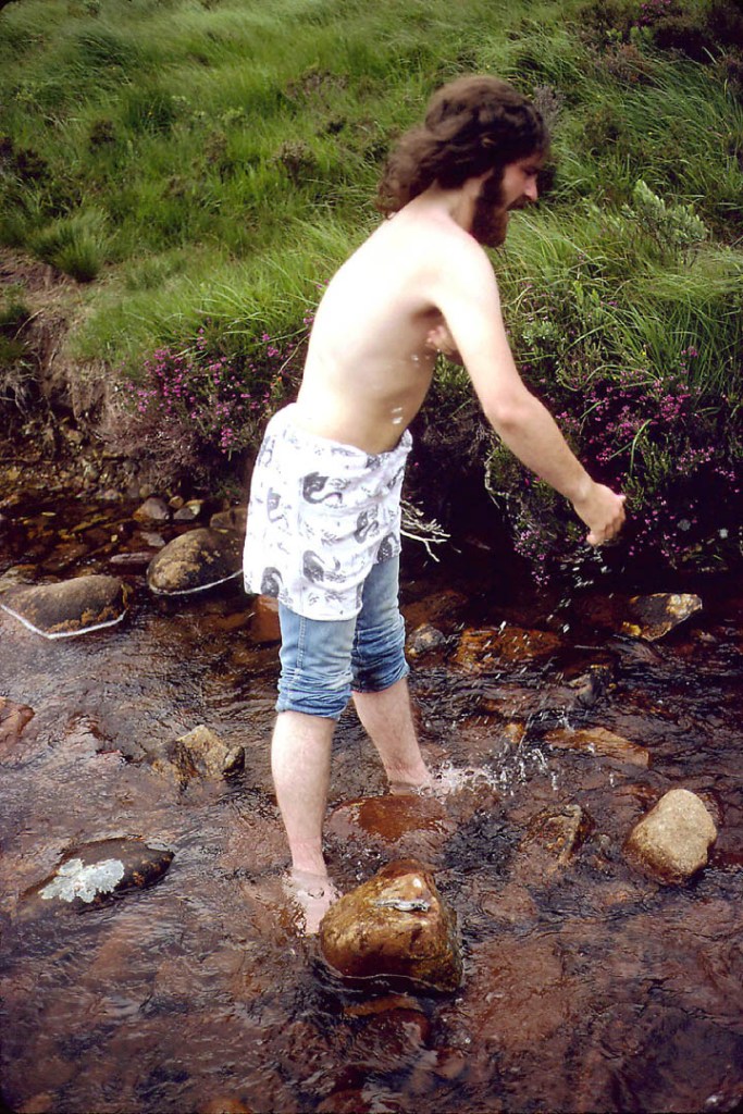
We’d missed breakfast, and ended up having an early lunch in the Sligachan Hotel. It stayed gloomy and rainy, and I think we slept through most of the rest of the day.
11
Day 1
Skye back to Derby
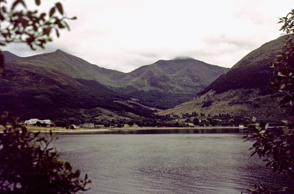
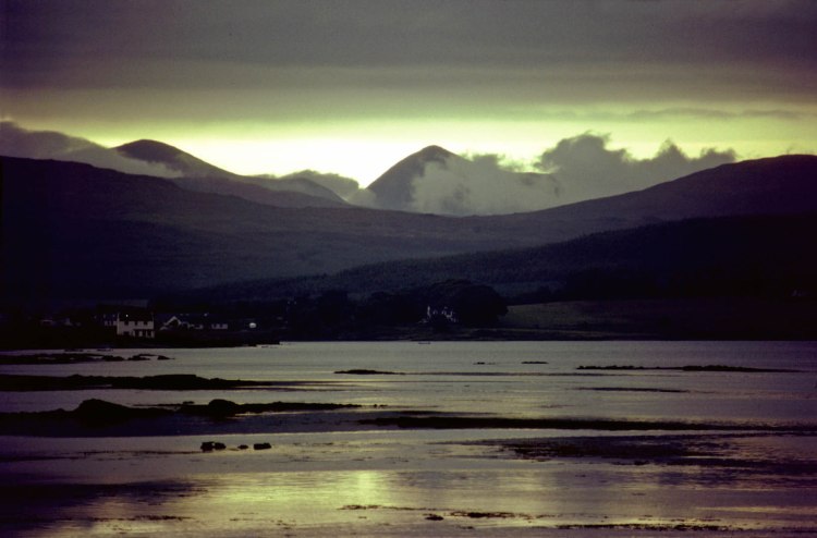
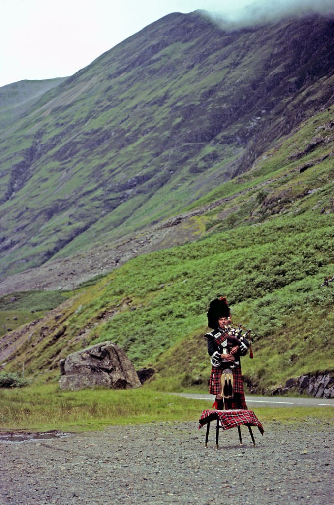
Took a nice shot of Loch Ainort and the mountain Glamaig (see photo at the top of this article), then drove to Armadale for the ferry crossing to Mallaig. Took some pics of Loch Linnhe, and a piper in Glencoe and drove back to Derby.
486

